7.8 magnitude earthquake hits Philippine island; tsunami alert was activated
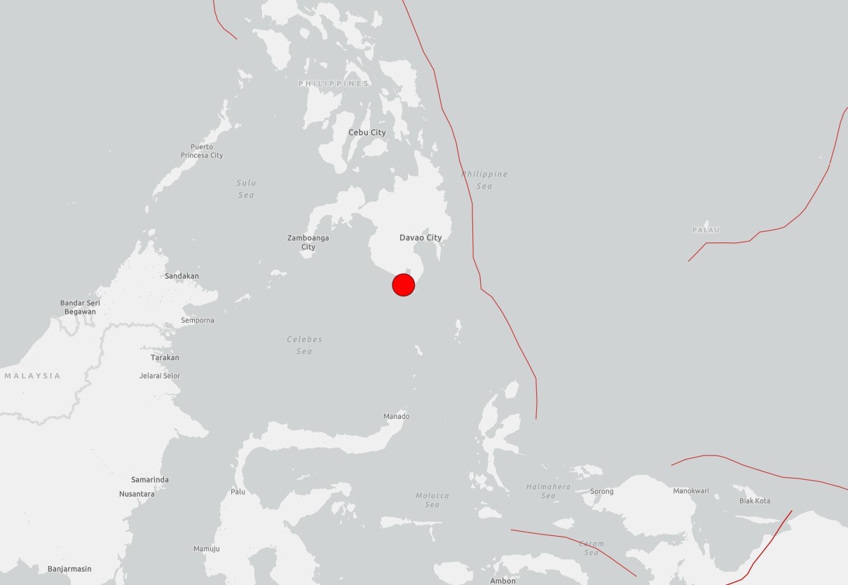
Site of earthquake recorded in the Philippines on June 8, 2026
Reproduction/USGS
An earthquake of magnitude 7.8 struck the island of Mindanao, in the Philippines, on Monday (Sunday night, the 7th, Brasília time), reported the German Geosciences Research Center (GFZ).
According to information from the Associated Press (AP) news agency, authorities in the Philippines confirmed that 15 people died and 129 were injured.
The initial warning indicated a magnitude of 8.2, but was later revised by the German institute.
A tsunami warning was even activated for regions of the country and neighboring Indonesia. The Philippine seismological agency identified tsunami waves of different heights at six monitoring stations, with the highest being 1.4 meters.
The epicenter of the quake occurred at a depth of 10 km (6.2 miles), according to the GFZ.
Mindanao is the second largest island in the Philippines in terms of extension and is in the south of the archipelago. It has 27.3 million inhabitants, which makes it the seventh most populous island in the world.
The country is part of the "Ring of Fire", a region of volcanoes and oceanic trenches that partially surround the Pacific Basin, and which is highly prone to seismic movements of great magnitude.
Magnitude
The amount of energy released at the epicenter of the tremor of earthquakes is called magnitude and measured by the Richter scale. It is logarithmic: this means that each increase of one point represents a release of energy approximately 32 times greater.
Although there is no "absolute theoretical limit", scientists estimate that, in the current Earth's crust, the largest possible earthquake would have a magnitude between 9.5 and 10. The largest ever officially recorded was that of Chile, in 1960, with 9.5 degrees.
Source: G1